First level soil vs secondary soils
Usage of soils in terrains is detailed here:
As explained here: Overview of the terrain architecture, first level soils are defining the shape of a terrain. So they contain a lot of meaningful macro level informations. Typically:
- The global terrain relief,
- A first definition color layer, that will be used to bring in variations on secondary soil colors.
- A first reflection intensity layer, that will be used similarly to add variations on secondary soils reflectances.
- An ambient occlusion signal (as any other soil).
- Extra masks that can identify specific areas over the terrain, or that can be flow maps for the specific mapping of secondary soils (details here: Adding masks).
- Vegetation spreading informations (more here: Defining vegetation densities).
- Extra customization areas (again, details here: Decals).
Secondary soils however, generally don't contain that much extra data. They can feature the same channels as first level soils (both soils are of the same document kind. The difference is only when added to a terrain: who comes first) but this is rarely needed. Typically we have:
- A height map.
- An color map.
- A reflectance map: while this layer can be easily ignored at the first level, it's quite important for secondary soils.
- An ambient occlusion map.
- A few masks images to build-up complex masks for advanced mixing of soils (like the example we saw here: Defining complex masks).
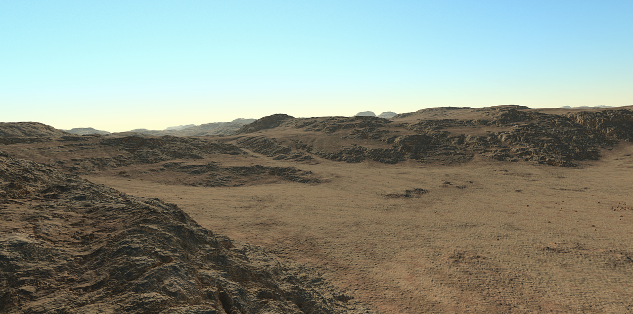
Below is an example of a complex terrain - naked - made with several secondary soils. We can see the color variations in the flat area that result of the first soil color covered by secondary soils that will retain some color influence from the first level soil:

 Soils Soils | Adding masks |


