


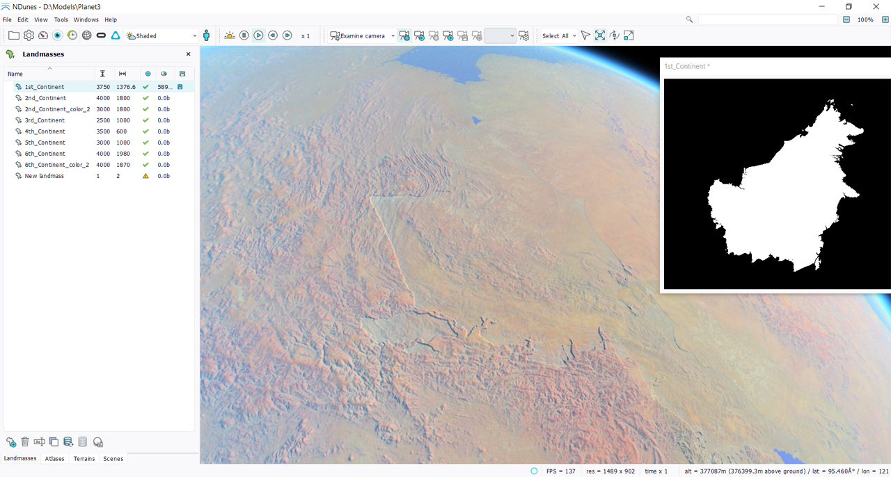
Creating landmasses
Like all other documents:
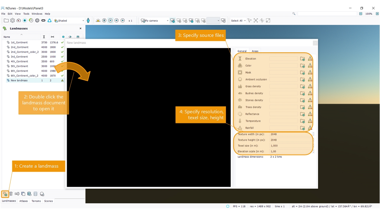
- Open the list view of all documents of that type. Click on the new landmass button.
- Double click the created document to open it.
- Select source files with the elevation, color, ...
- Specify the size of the textures in texels, the size of a texel and the relief height for the landmass.
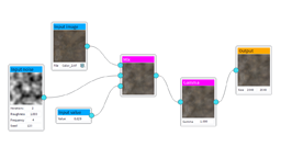
Calculating a landmass ambient occlusion
Like Soils, landmasses need an ambient occlusion channel map to be complete, so they can influence the terrains that'll be seeded onto them. This is detailed here: Overview of the terrain architecture. In order to calculate the ambient occlusion channel of a landmass, proceed as with soils:
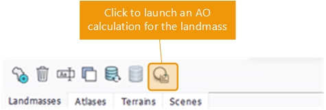
The ambient occlusion of a landmass will be used in OVERLAY blending mode with first level soils and secondary level soils, fulfilling the hierarchical top down design process of a planetary layout.
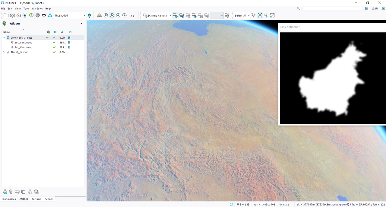
Defining a landmass mask
A landmass mask is important whenever two landmasses are overlapping in the atlas setup. Let's setup a sharp mask into our landmass (using a thresholded elevation for instance), add two overlapping landmasses and create the atlas with that:
If we smooth out the mask, the blending of two overlapping landmasses will behave much better:
Adding landmass channels
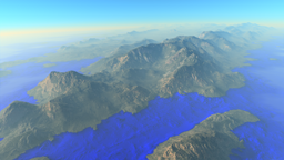
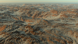
A planetary layout requires coherency at a large scale level and this is the purpose of landmasses to add this coherency to the result. Therefore, a landmass has all the channels available for the definition of all parameters that are inherited among layers of our terrain architecture; so from the atlas filled with landmasses to the first level soils and then secondary soils:
- Elevation which is inherited in OVERLAY mode.
- Color which is inherited based on the terrain color blending mode.
- Ambient occlusion which is inherited in OVERLAY mode.
- Reflectance which is inherited based on the terrain reflectance blending mode.
- Densities which are inherited based on the terrain densities blending mode too.
So a terrain can appear "as is", unchanged for its color, reflectance, densities based on its definition parameters. However, a terrain added to an atlas will always be influenced for its elevation and ambient occlusion.
Adding temperature and rainfall channels
Temperature and rainfall are defined in Atlases documents for the entire planet: the range of temperature and rainfall as well as the temperature lapse rate (the loss in temperature when ascending 100 meters). Then, local weather conditions can be defined in the landmass itself. By specifying temperature and rainfall maps, the growth rate of Plants in Biomes can be influenced as well as the presence of snow (Adding snow).
Defining landmass areas
As Soils that can have biome areas, landmasses can have areas. These areas are named by clicking on the button right to the area channel. Here an example of an area named "Coastal" that focuses on landmass regions near the sea level:
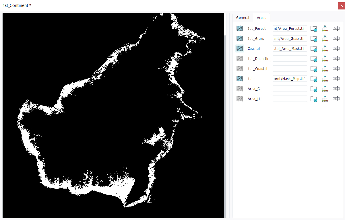
These areas can be then used by Atlases to control the seeding of specific terrains or biomes to specific regions of the landmass. So for instance a desertic region can be defined with only sand dunes and a desertic biome in it aside a region with higher hills and a another biome less desertic. So the landmass can be cut in regions that make sense for the overall planetary layout.
 Landmasses Landmasses |
