

Adding flow maps
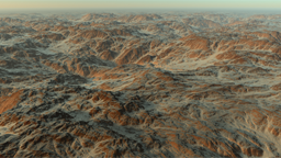
Flow maps can be specified at the soil level directly. Flow maps are useful for first level soils only (see here: The first level soil). They are ignored for all secondary soils. A flow map defines temperature and rainfall variations that are applied to terrains that are using first level soils with flows. This is illustrated below:
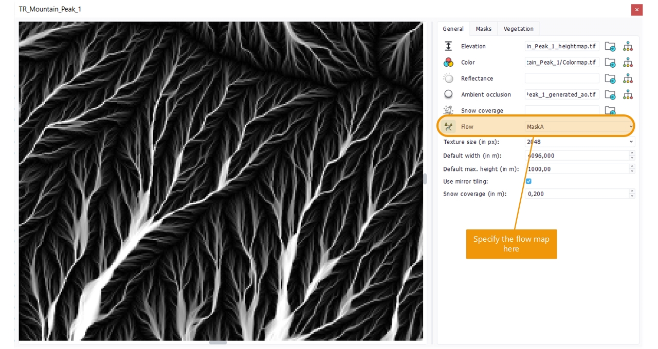
A flow map is setup from the main soil panel, by selecting which mask channel is to be used as flow source:
The flow map does not have a direct effect on the terrain. It influences the temperature and the rainfall:
- At a place where the flow is maximal (e.g. the flow map is white), the temperature is one degree Celcius lower than without a flow.
- At a place where the flow is maximal, the rainfall amount is increased by 100 mm/year.
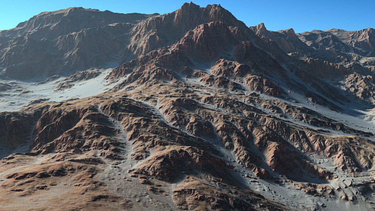
There are two effects of using flows:
- First, the snow can descend flow trails.
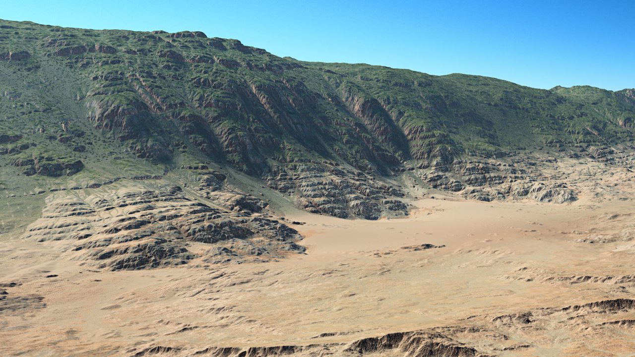
- Second, since it is a bit colder and more wet in flow regions, some plants can survive longer and this creates biome variations.
In the image below we see the frontier between a desert and a savannah style biome where it gets too hot in the valley and some plants have been setup to survive in bit less warm regions. Flow maps break the temperature and rainfall lines that would be visible otherwise:
 Retouching a soil image Retouching a soil image | Using ASC files |
