Defining vegetation densities
The way vegetation will cover a given terrain is defined at the soil level. Since the first level soil sculpts the terrain, it also generally defines how vegetation will cover that terrain. Vegetation densities are defined in the "Vegetation" tab of the soil panel. Vegetation densities are defined for each category of plants - including rocks:
- Grass,
- Bushes,
- Stones,
- Trees.
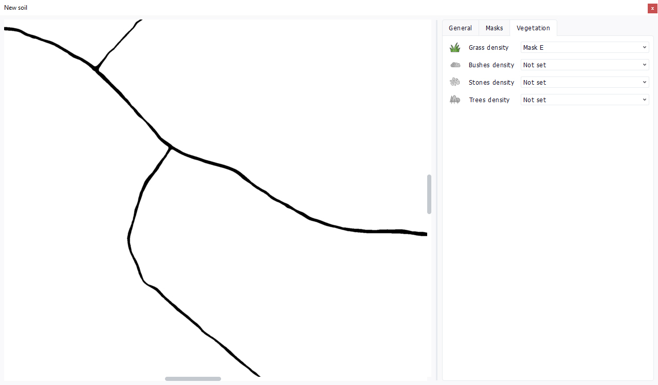
Instead of being natively defined, vegetation densities point onto other channels of the soil. Any mask or the reflectance or the ambient occlusion channels can be selected to define densities. In the example below using our new soil, we will define a grass density mask that preserves roads that are sculpted in our soil:

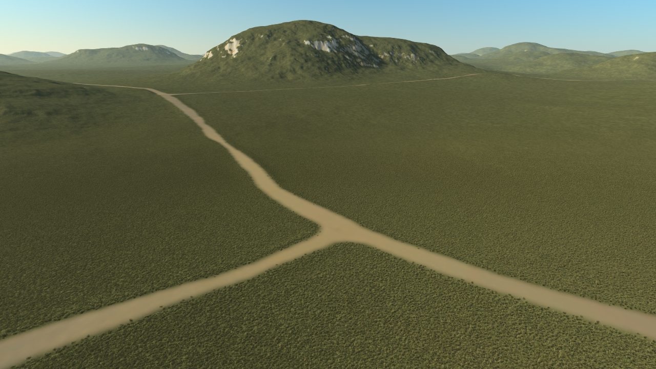
If we setup a Biomes that contains Plants and add it to the current scene, we will see our plants covering the terrain:

Here, we look at a very simple biome with just a grass plant, which is set to cover our terrain.
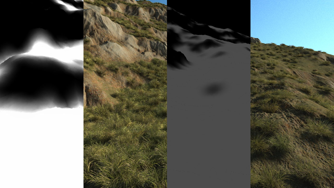
These masks define the density of plants that will cover a given soil region. The density is expressed as a normalized term in [ 0, 1 ] (black to white map tint). A white tint provides roughly a full coverage of the soil by the listed plant species in the biome. This is illustrated below:

The two leftmost parts of the image depict a max density (so a white density where it has been defined) and the corresponding grass coverage, while the two rightmost parts of the image depict a low density and the resulting vegetation coverage.
Note that the density formula is not linear: dividing the density by 2 will reduce the number of plants spread by 4. Said otherwise 50% of a given density will produce 25% of the species in coverage. This square formula applied to the density mapping has been setup to get a better feeling of the scarcity of plants when the density get lower. Due to the viewing angle of plants that can be grazing, the feeling of a decreasing density is better matched using a stronger decay formula of the number of plants being spread.
To create custom specifications of densities on some areas, please refer to Decals.
 Adding masks Adding masks | Retouching a soil image |


